Founded in 1992, Meridian Mapping is a full service provider of GIS (Geographic Information Systems) data, software and GIS related solutions to clients of all sizes from Fortune 500 corporations and nation-wide commercial real estate companies to small architectural and engineering firms.
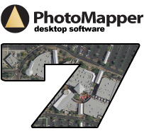
Our solutions include software, training, support, and consulting services to achieve maximum benefits. Our services and industry expertise enable us to provide the best solution for your specific needs. |